Fishing is a very fascinating and philosophical process. For me, it takes place not only on the water body, but also in preparation for it: in the garage, in a fishing store, at home. After all, choosing gear we also analyze what we need, in what places we will use it. And the choice of fishing spot I also take a lot of time at home. Earlier I had to find out about some new places from acquaintances, from other fishermen, on forums, etc. But now, in the digital age, new places can be found right at your computer, which I want to talk about in this article.
Existing services
For starters, before every trip I look at weather forecast sites. I will not advise them, because in each city, region or country they are very different. I even always always compare the forecast from three or four sites before I go. Since I fish rafting from a boat, I am most interested in wind direction. I need it to blow from the side of a steep bank or forest, so that the bank and vegetation protects me and the boat doesn’t spin. But how do you know if there is a cliff in a new place? For this purpose, we have the opportunity to look at satellite images or old military maps, which indicate rolls, cliffs and so on. The most common services are Google Maps, Yandex.Maps and Google Earth. Sometimes, in order to know as accurately as possible whether a point is suitable for us or not, we have to use three services at once.
The theory of choosing a spot
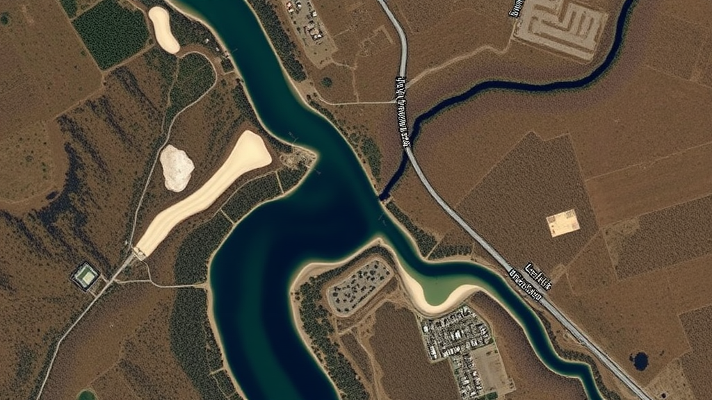
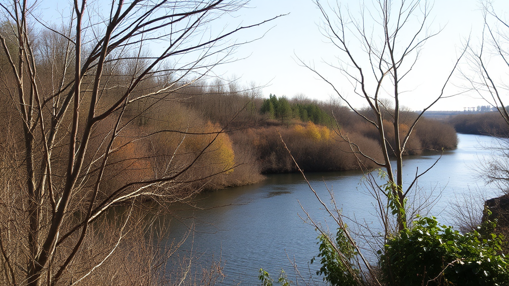
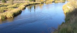
For jig fishing there are no special features in the use of satellite images. We see, for example, that the river turns and one bank is precipitous. There the current washes out the hole and the water looks dark on the image, and on the opposite bank there is usually a spit or shoal. According to such maps you can mark in advance the points and ways to bypass the shoal and feel much more confident in the boat.
But when catching, for example, chub and zherekh from the shore or rafting from a boat without such maps can not do without. For example, when fishing from the shore, we need to find a roll, some breakaway streams, or any anomalies on which the desired predator can stand. Or when fishing from a boat, we need to find an area with coastal crusts in the form of fallen trees in the water, and just analyze the proposed place of fishing. After all, there may be squat in the water, but the place will be under the other bank, which has no current and, accordingly, chub and jerkh will not hold there. Or in a seemingly promising place on the maps clearly visible thickets of grass and lilies – so there is also no necessary stream. In general, it is worth a little bit to imagine such a site in person, as everything falls into place. Of course, there are also not 100% hits and when you arrive at the place, you are disappointed. But this is rather an exception to the rules. Besides, you need to get to the water, and there are a lot of roads and it is very easy to get lost or come to the wrong place, and the pictures show more rolled-out areas, which often allow you to bypass unpleasant places in the form of ditches or ditches, etc.
So, to find the places we need and roads to them, I often use all the services, and the reason is quite simple. For example, Yandex gave us an opportunity to look at pictures of a winter river or in spring when the river is overflowing, when the river often overflows its banks. Naturally, on such pictures we will not see the anomalies or features we need, but Google can give a picture of the river in summer, when the water drops as low as possible and the hidden crusts or rolls are exposed. On the contrary, Google may have spring images or images covered by clouds, while Yandex has great ones for us. But what to do if both services have provided “ugly” images? To help us comes google earth.
Google earth or Google Earth
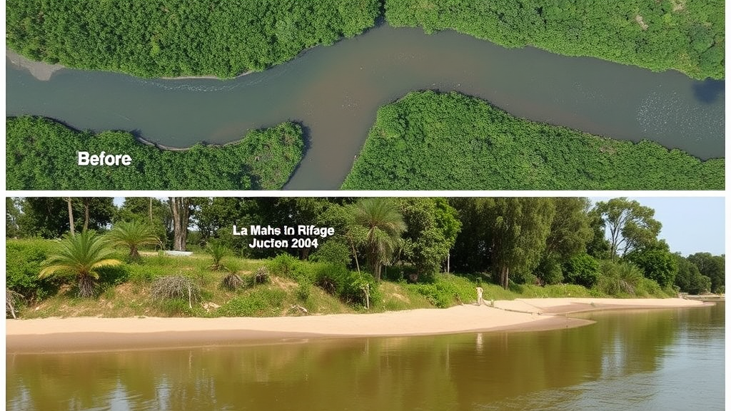
Why did I decide to put this service separately? Because it is available both in online format and in the form of a program that we install on our computer, which provides the necessary functionality that is not available in other services. In addition to the fact that we have access to the photos that users have posted with the location, we also have the opportunity to view satellite images for the past years and see how the relief of the river has changed or just pictures of this area at different times of the year. It’s very convenient and helps you find places you didn’t even know about before! But you can only see pictures from previous years in the PC version. Unfortunately, neither in the mobile application nor in the online version there is no such possibility.
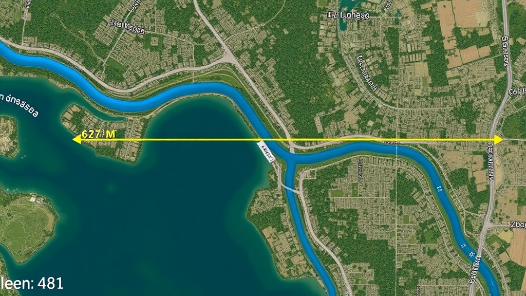
But it is quite convenient to measure the distance from your phone. In the standard application Google maps or Yandex.maps there is no such possibility, and sometimes it is very necessary, especially when you already know your gasoline consumption in the boat motor and you have not so much fuel left, and you want to get to another point. And sometimes it is just interesting to see what distance has been traveled.
Konklusjon
For a long time I can hardly imagine my fishing without preliminary preparation for it at home on the computer or with a phone, good thing now there are enough convenient services that are constantly updated, improved and greatly simplify the search for new places!
Forfatter: Bob Nudd er en ekspertfisker med over 20 års erfaring og vinner av mange konkurranser.

I recently tried a service for finding the best fishing spots, and it was a game changer! They recommended a hidden lake I’d never heard of. Caught the biggest bass of my life! Totally worth it for anyone looking to up their fishing game. Thanks for sharing this!